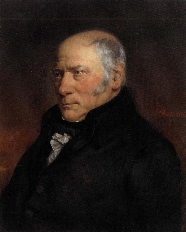
William Smith (1769 – 1839)
William Smith (1769 – 1839), an English geologist, is credited with compiling the first nationwide geological map in 1814 which was first published, the following year, in 1815.
Smith was born in the village of Churchill, Oxfordshire, the son of blacksmith John Smith. In 1787, he found work as an assistant for Edward Webb of Stow-on-the-Wold, Gloucestershire, a surveyor. He was quick to learn, and soon became proficient at the trade. In 1791, he traveled to Somerset to make a valuation survey of the Sutton Court estate. He stayed in the area for the next eight years, working first for Webb and later for the Somersetshire Coal Canal Company, living at Rugborne Farm in High Littleton.
Smith worked at one of the estate’s older mines, the Mearns Pit at High Littleton, part of the Somerset coalfield and the Somerset Coal Canal.
In 1794, working as a surveyor on the construction for the Somerset Coal Canal, Smith recognised that each stratigraphic horizon contained a unique assemblage of fossils. This enabled him to work out the order of strata from the fossils they contained. As he observed the rock layers, he realised that they were arranged in a predictable pattern and that the various strata could always be found in the same relative positions. Additionally, each particular stratum could be identified by the fossils it contained, and the same succession of fossil groups from older to younger rocks could be found in many parts of England. Furthermore, he noticed an easterly dip of the beds of rock—small near the surface (about three degrees), then bigger after the Triassic rocks. This gave Smith a testable hypothesis, which he termed The Principle of Faunal Succession, and he began his search to determine if the relationships between the strata and their characteristics were consistent throughout England and Wales.
In 1799 Smith produced the first large scale geologic map of the area around Bath, Somerset. In 1801, he drew a rough sketch of what would become “The Map that Changed the World”.
In 1815 Smith published the first geological map of Britain. It covered the whole of England and Wales, and parts of Scotland, making it the first geologic map covering such a large area ever published. Conventional symbols were used to mark canals, tunnels, tramways and roads, collieries, lead, copper and tin mines, together with salt and alum works. The various geological types were indicated by different colours; the maps were hand coloured. He published his Delineation of the Strata of England in the same year. In another of his books Strata Identified by Organized Fossils (London 1816-1819) he recognised that strata contained distinct fossil assemblages which could be used to match rocks across regions.
At the time his map was first published he was overlooked by the scientific community; his relatively humble education and family connections preventing him from mixing easily in learned society. Consequently his work was plagiarised, he was financially ruined, and he spent time in debtors’ prison.
It was only much later in his life that Smith received recognition for his accomplishments. In 1831 the Geological Society of London awarded Smith the first Wollaston Medal and the President, Adam Sedgwick, referred to him as ‘the Father of English Geology’. Smith subsequently received an honorary Doctorate of Laws (LL.D.) from Trinity College, Dublin in 1831. In 1838 he was appointed as one of the commissioners to select building-stone for the new Palace of Westminster.
Smith’s map is displayed at the Geological Society in London.