| |
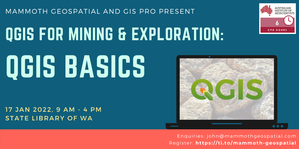
17 January, 9am – 4pm
State Library of WA, Perth Cultural Centre,
25 Francis Street, Perth WA 6000
QGIS is free and open source desktop GIS software that runs on Windows, Mac and Linux. It’s available in about 40 languages and used worldwide by a rapidly growing user community. New features are added at a dizzying pace by a talented global team of developers.
While not specifically built for geological applications, QGIS is professional grade and can do the majority of data import, data display, analysis and map production required by today’s geoscientists. A wide variety of free geological symbols and patterns are available for mapping, and a growing number of plugins are available to support your geoscience workflow.
This full day, hands-on workshop has been designed for new and experienced users of Geographic
Information Systems. We’ll cover topics including:
Geologists, geoscientists, GIS professionals, exploration managers, geoscientific information managers and other technical people will learn about QGIS and how they can use it in their geological workflow
Participants will be required to bring their own laptop with a recent version of QGIS installed (we’ll provide information on how to do this ahead of the workshop).
The workshop runs for a full day from 9am-4pm, with breaks for morning/afternoon tea and lunch.
AIG members are eligible for a discounted registration and 6 CPD points.
Maximum 16 participants