| |
QGIS is free and open-source desktop GIS software that runs on Windows, Mac and Linux. It’s available in about 40 languages and used worldwide by a rapidly growing user community. New features are added at a dizzying pace by a talented global team of developers.
While not specifically built for geological applications, QGIS is professional-grade and can do the majority of data import, data display, analysis and map production required by today’s geoscientists. A wide variety of free geological symbols and patterns are available for mapping, and a growing number of plugins are available to support your geoscience workflow.
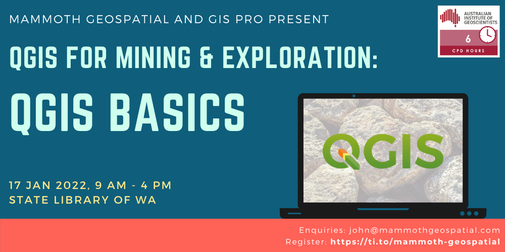
Mining & exploration companies worldwide are adopting QGIS because it’s powerful, easy to use, and free. Join us for this full day session, where we’ll explore how you can use QGIS in your workflow.
QGIS is a free and open source GIS that runs on all major operating systems. It’s available in about 40 languages and used worldwide by a large and growing user community. New features are added at a dizzying pace by a talented global team of developers.
QGIS is professional grade and can do the majority of data import, data display, analysis and map production required by today’s geoscientists. A wide variety of free geological symbols and patterns are available for mapping, and a growing number of plugins are available to support your geoscience workflow.
This full day, hands-on workshop has been designed for new and experienced users of Geographic Information Systems. We’ll cover topics including: – key features of QGIS – sources of free geoscience data, satellite imagery, and templates – importing, exporting, editing, and analysing geospatial data – creating professional-looking maps – geology-specific workflows and tools
Geologists, geoscientists, fieldies, GIS professionals, exploration managers, geoscientific information managers and other technical people will learn about QGIS and how they can use it in their mining & exploration workflow.
The next QGIS for Mining & Exploration course is running on 23 May, covering the fundamentals of QGIS with geoscience-specific data and exercises:
Click HERE to register
Or contact john@mammothgeospatial.com for more info